Cyngor Llyfrau Cymru
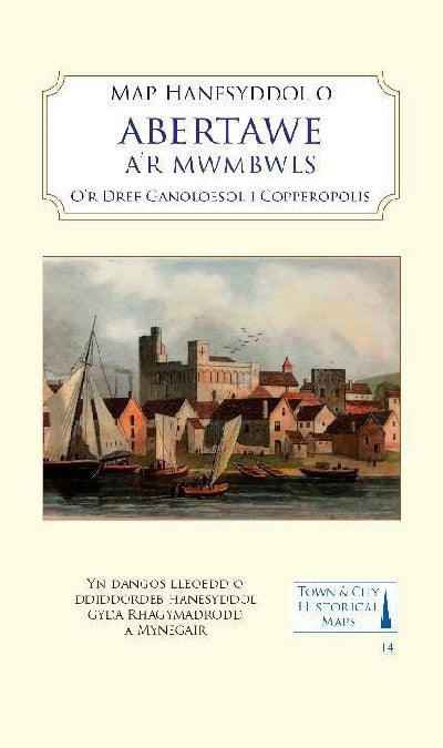
Map Hanesyddol Abertawe a'r Mwmbwls - O'r Dref Ganoloesol i Coperopolis
Map Hanesyddol Abertawe a'r Mwmbwls - O'r Dref Ganoloesol i Coperopolis
Couldn't load pickup availability
Disgrifiad Cymraeg / Welsh Description
Map lliw llawn, wedi'i seilio ar fapiau OS ar ffurf ddigidol o ardal Abertawe o tua 1919, yn cynnwys troshaen yn dangos gorffennol canoloesol yr ardal ac adeiladau pwysig. Cynhwysir hefyd fap o'r Mwmbwls a'i gastell canoloesol.
Disgrifiad Saesneg / English Description
A full colour map, based on digitised OS maps of Swansea of about 1919, with its medieval past overlain and important buildings picked out. The map includes an inset map of Mumbles and its medieval castle.
Dosbarthu
Byddwn yn dosbarthu eitemau sydd mewn stoc o fewn 3 diwrnod gwaith, fel arfer drwy Royal Mail Tracked 48. Ar gyfer archebion o flaen llaw, byddwn yn dosbarthu’r eitem o fewn 3 diwrnod gwaith ar ôl ei derbyn gan ein cyflenwr.
Dispatch
In-stock items will be dispatched within 3 business days, usually by Royal Mail Tracked 48. For pre-orders, we’ll dispatch within 3 business days of receiving the item from our supplier.
Manylion y cynnyrch / Product details
- ISBN 13
- 9781838071936
- Gwales Code
- gwales.com.9781838071936
- Gwerthwr / Vendor
- Cyngor Llyfrau Cymru
- Long Title
- Map Hanesyddol Abertawe a'r Mwmbwls - O'r Dref Ganoloesol i Coperopolis
- Current Price ex VAT
- £10.99
- Current Price inc VAT
- £10.99
- Availability Status (EN)
- Available
- Availability Status (CY)
- Ar gael
- Dyddiad cyhoeddi / Publication Date
- 2023-04-03
- Cyhoeddwr / Publisher
- Historic Towns Trust
- Editor
- Stevens, Matthew; Fulton, Helen; Darkes, Giles
- Media Type (EN)
- Audio cassette
- Media Type (CY)
- Casét sain
- Pages
- 2 pages
- Size
- 127 × 206 mm; depth 5 mm
- Language Code
- Welsh
- Categori / Category
- CY: Mapiau (yn Gymraeg) | EN: Maps (in Welsh)
- Is-gategori / Subcategory
- CY: Mapiau o Drefi a Strydoedd (yn Gymraeg) | EN: Street / Town Maps (in Welsh)
Bywgraffiad yr Awdur / Author Biography
Professor Matthew Stevens is an Associate Professor at Swansea University where he specialises in medieval Welsh history, focussing on the everyday life of people. Professor Helen Fulton is Chair in Medieval Literature at the University of Bristol where one of her specialities is medieval Welsh literature.
Adolygiad y Cyhoeddwr / Publisher Review
Format/ binding: card map cover 127 x 206 mm (portrait) containing folded sheet map (1000 x 889mm, when unfolded) and tipped into cover. Map reverse carries an illustrated gazetteer of sites of interest: approx. 8000 words. Cover carries inside a brief history of Swansea: 1,100 words. In the Middle Ages, Swansea (Abertawe) became a centre for trade around the mouth of the river Tawe. Following Norman control of the area, Swansea Castle was established in the early 12th century and a borough charter was granted at the end of that century. Great growth began in the 17th century with the establishment of copper-smelting in the area of the lower Tawe valley, an industry which grew until Swansea was the world capital of the copper industry — hence its nickname of ‘Copperopolis’. Initially using ore from Cornwall, Swansea took advantage of its local coal resources and its good port facilities to process copper, arsenic, tin, gold and other metals, using imported raw materials from all over the world. The port exported the final products, along with many tons of coal. At the time of the background map shown here, heavy industry and its spoil heaps dominated the lower Tawe valley, and extensive docks dominated the south of the town, but evidence of its medieval past and its street layout survived.
Share